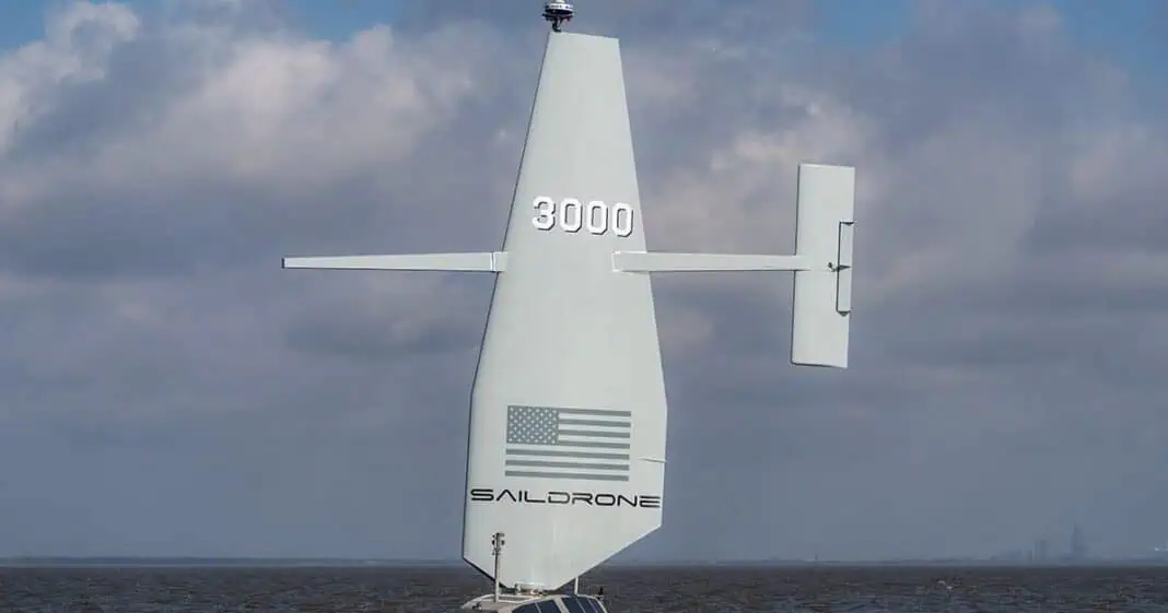
Saildrone, in partnership with Meta, has successfully completed a first-of-its-kind, deep-water cable route survey.
The event took place in the North Atlantic with the 20m/66ft Saildrone Surveyor. It marked a milestone in ocean surveying, demonstrating that uncrewed vessels can deliver data quality comparable to that historically associated with crewed research vessels.
The survey was conducted in June and July 2024 and took 26 days to complete. During the event, the Saildrone Surveyor completed the mapping of more than 4,500 kilometers/2,796 miles of seabed.
Using an EM304 MKII multibeam sonar, the vessel was able to achieve a swath coverage of up to 10 km/6 miles. The survey took place in waters up to a depth of 5,500m/18,044ft.
Commenting on Saildrone’s latest achievement, Meta Subsea Cable Engineer Andy Palmer-Felgate stated:
“This mission demonstrated that autonomous ocean mapping is not just possible — it’s here, and it’s incredibly effective. Saildrone delivered data that matched legacy surveys with exceptional accuracy, all while operating remotely and with minimal environmental impact.
“As capacity needs increase, Meta continues to invest in cutting-edge infrastructure technologies — and our subsea cable strategy work is critical to these efforts. Ocean mapping plays an important role, and the implications for subsea cable route surveys are profound.”
While Saildrone Vice President of Ocean Mapping Brian Connon added:
“This is a turning point for deep-ocean survey. The Surveyor’s performance on this mission proves that we can deliver high-resolution, deep-water bathymetry with a fraction of the fuel, cost, and risk. As our fleet expands, we envision a global network of Surveyor USVs supporting offshore industries with safe, efficient, and scalable data solutions.”

